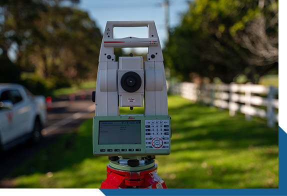
Our team of skilled surveyors offer a complete range of 3D surveying services to support the precise location of marked utilities and services. Using advanced total stations, GPS technology and 3D scanners, we ensure that located and exposed utilities are accurately mapped to MGA coordinates and AHD height datum. We provide detailed drawings and models in DWG, PDF, Revit, 12D and GIS formats, complete with surveys of existing area features and an aerial image overlay for added context and clarity.
Our Utility Mapping and Land Surveying can help with:
Site establishment onto MGA coordinates and AHD height datum
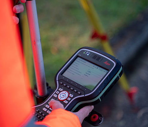
Locating marked utilities and services with survey accurate GPS equipment
Coding and specification of Roads and Maritime Services (RMS)
3D modeling of surveyed services alignments
Topographic Surveys
Provision of deliverables in 12D/3D AutoCAD/MX & DXF formats
We work with a range of customers from different industries including councils, builders, surveyors, architects, engineers, plumbers, electricians, building consultants. We offer our services covering most of greater Sydney, Newcastle, Wollongong and the Central West.
For a competitive quote on Utility Mapping & Land Surveying,